
Walk a Muscogee County Street
A reliable street search moves from the physical address to the parcel, then to records that name people in specific roles. Columbus and Muscogee County have shared a consolidated government since 1971, so a portal marked Columbus, CCG, or Muscogee County may cover the same local area. Preserve the spelling supplied by the searcher, but also check a standardized form. Old sources may retain a direction, suffix, cross street, or number that a modern search rejects.
The sequence below keeps ownership, occupancy, and registration from being blended into one claim. It also works when a single street crosses several subdivisions or contains corner lots, apartments, vacant land, or newly divided parcels.
- Search the CCG Public Access Address mode by number and street core. Record the parcel ID, situs address, owner, owner mailing address, legal description, and roll date.
- Open Map Search or Columbus GIS. Confirm the parcel polygon and click nearby lots one at a time rather than trusting number order.
- Use the assessed owner as a grantee search in the Clerk's real-estate index. Match the deed's legal description to the parcel.
- Where lawful and needed, compare an authorized Georgia voter-file row by its separate residence number, street, unit, city, and ZIP fields.
- For an older household, search the street or address in Columbus directories and inspect the page image, not just OCR text.
This street-by-street method yields dated evidence, not a permanent roster. Save the date and source with each finding because the parcel roll, voter file, permit dashboard, and deed index update on different schedules.
Search Muscogee County by Address
The CCG Public Access property site is the strongest first stop for the modern Muscogee County street directory. Address Search accepts the house number and street name, while Owner and Parcel modes let a researcher pivot after the first match. Advanced Search may help narrow a large result set. Map Search is useful when a suffix or direction causes a miss.
| Portal choice | Input | Best street use |
|---|---|---|
| Owner Search | Person or entity name | Find all candidate parcels tied to a named assessed owner |
| Parcel Search | Exact parcel ID | Return to one lot without relying on its street spelling |
| Address Search | Street number and name | Open the parcel card for a known address |
| Advanced Search | Combined filters | Narrow broader property results when available |
| Map Search | Pan, zoom, and parcel click | Browse adjacent lots and resolve uncertain numbering |
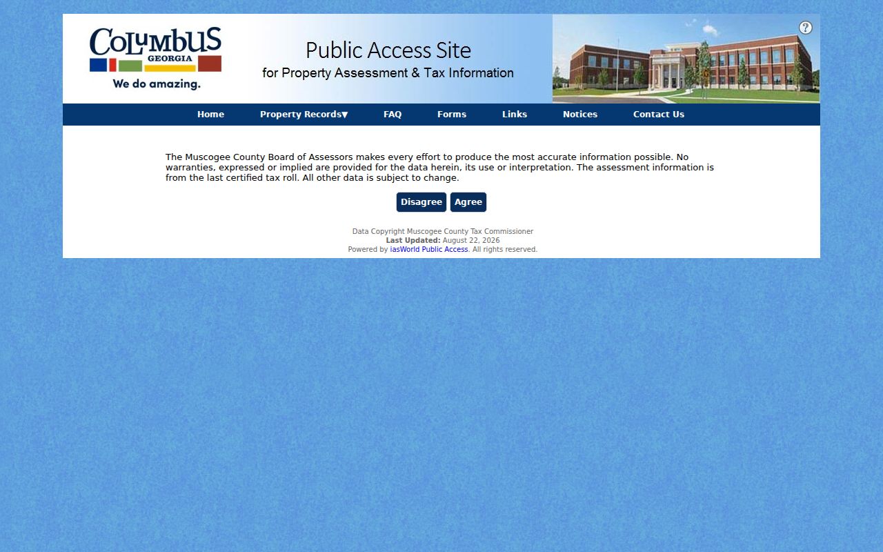
| Agree | Disclaimer acceptance | Enter the dated, no-warranty assessment data |
The property search screen shows how the official roll is entered, but the parcel card supplies the evidence that matters: owner, mailing and physical addresses, values, building details, tax profile, sales history, and possible exemptions.
Muscogee County Street Address Terms
A parcel card uses terms that answer different questions. The situs address is the land's physical location. The mailing address is where the tax notice goes. A legal description identifies the tract through a subdivision, lot and block, plat, or metes-and-bounds wording. A matching situs and mailing address, paired with a homestead exemption, can support owner occupancy. A distant mailing address supports only that the correspondence goes elsewhere.
- Parcel
- A mapped unit of land carried on the assessment roll under its own identifier.
- Situs address
- The physical street location assigned to the parcel, distinct from owner mail.
- Plat
- A recorded drawing that shows lots, blocks, boundaries, streets, and land divisions.
- Criss-cross directory
- A directory section arranged by street and house number instead of surname.
Dated roll. Muscogee County assessor ownership is stated as of January 1, 2026, so a newer recorded deed may outrun the parcel card.
The distinction is vital. Neither a mailing address nor a situs field proves the full household, and neither should be restated as a list of residents.
Browse Muscogee County Street Parcels
Columbus Consolidated Government divides map duties among several offices. Tax Assessors maintains cadastre, the mapped parcel framework. Engineering handles addressing and streets. Planning manages zoning, while IT supports public maps, aerials, and lidar. Search controls and layers can differ by viewer, so record which map was used and check the imagery date.
The official parcel and code-case map resources connect users to property cards and the Code Case Dashboard. The screen below is a useful route into lot data and code history.

Zoom until parcel lines appear, click the target lot, then move clockwise through touching parcels. Corner and rear lot lines often reveal a true adjacent parcel that the next street number misses. A map label or pin is context; the assessor card is the named ownership source.
Muscogee County Street Record Coverage
One street can lead to six official or library-held record sets. Each names a person in a different capacity, and each has a separate access channel. The street directory is sound only when those roles remain attached to their source.
| Address record | Local keeper | What it can establish | How to reach it |
|---|---|---|---|
| Assessment roll | Board of Assessors | Assessed owner, situs, mailing, parcel, values | Free Public Access site or assessor office |
| Tax account | Tax Commissioner | Billed owner, tax address, payment status | Online property search or office |
| Deeds, liens, plats | Superior Court Clerk | Recorded parties, dates, and legal land evidence | Real Estate Search, GSCCCA, clerk counter, or mail |
| GIS | CCG departments | Parcel shape, aerial context, zones, nearby lots | Free public map viewers |
| Voter list | Georgia Secretary of State | Structured registered-residence components | Authorized paid electronic county file |
| Permits and code cases | Inspections and Code | Work, violations, applicants, or contractors by address | Dashboard or focused records request |
The Muscogee County Tax Commissioner provides another property route. Its page below is distinct from assessment: tax billing and collection do not replace title evidence.

The Tax Commissioner is at 3111 Citizens Way and handles property and delinquent-tax matters at 706-653-4211. Assessment questions go to the Board of Assessors at the same street address, 706-225-4398.
Chain Deeds Along a Street
A sale-history row is a shortcut, not the conveyance. For title evidence, open the current parcel card, retain its legal description, and search the assessed owner as a grantee in the Muscogee County Clerk's real-estate system. The deed identifies the grantor, or seller. Search that grantor as an earlier grantee, then confirm the same lot or legal description before stepping backward again.
The clerk's Real Estate Division records deeds, liens, plats, and real-estate UCC filings. Online indexing routes through Real Estate Search and GSCCCA, but the official page does not state an exact online cutoff. Older grantor and grantee index books, deed books, and plats remain a counter question. The clerk is at Government Center, 100 10th Street, second-floor tower, and Records/Customer Service is reached at 706-653-4358, option 1.
Mail is also a documented fallback. The real-estate copy form accepts grantor, grantee, property address, filing date, book, book type, and page. It covers deeds, security deeds, cancellations, liens, and plats, with processing stated as up to ten business days. The posted $25 general recording charge is not a universal copy price.
Georgia Voters by Muscogee Street
Georgia My Voter Page cannot browse a street. It is an authenticated self-lookup using the voter's first initial, last name, county, and date of birth. The separate county voter file has structured residence-number, direction, street-name, street-type, unit, city, and ZIP columns, which can be grouped by street under the state's rules.
A Muscogee County list is listed at $70 and is delivered electronically, generally within two weeks. Georgia law, O.C.G.A. §21-2-601, bars commercial use. VoteSafe masks qualifying protected residence addresses. An inactive status does not prove that a person moved, and voting history shows participation dates, never ballot choices. Keep status and the file's current-as-of date with any address finding.
This source can add registered residents to an address trail, but it omits unregistered people and protected rows. It must never be treated as a full household list.
Dates From Muscogee Code Records
Permits and code cases can date work, inspections, or violations at a Columbus address. They may name an applicant, contractor, property owner, or cited party. Those labels must remain intact because none automatically means occupant. A narrow request should identify the department, street address, subject, date span, and desired format.
When a dashboard lacks an old case, Georgia's Open Records Act covers existing nonexempt records and calls for a response within three business days when records are not immediately available. The government need not create a new street compilation. A request for a known case, permit range, or address record is more workable than asking staff to research everyone associated with a block.
The Tax Assessor's official resource page also gathers useful property routes.
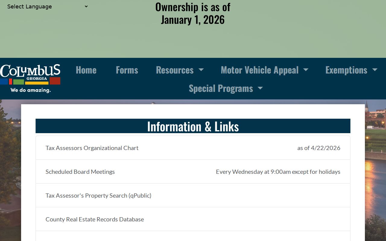
That screen helps separate the assessor's current-roll role from the clerk's recorded deed role and the Tax Commissioner's billing role.
Old Muscogee County Street Entries
Historical Columbus addresses do not always match a modern search string. Early directories may use cross streets, side-of-street abbreviations, or half numbers. Subdivision plats, legal descriptions, Sanborn index sheets, and contemporary maps offer better continuity than a street number alone. Consolidation in 1971 and annexation also changed whether a place was labeled Columbus or Muscogee County.
The Digital Library of Georgia catalogs Columbus directories across 1850 to 1950, with selected digitized years. The 1884 volume separates White and Colored departments, so both alphabets must be checked. OCR can merge columns or distort a surname. Inspect the scanned page, the abbreviation key, and errata or removals before accepting a hit. The full historical shelf belongs on the Muscogee County city directories page; here, the address entry serves as one dated street clue.
Later Polk volumes can include Phenix City and South Girard in Alabama. A street directory result from that metropolitan run must be assigned to the right state and county rather than assumed to be Georgia.
Limits of a Muscogee Street Directory
Property records are strongest for owners and parcels, not every resident. Apartment buildings often have one owner parcel and many units. Condominiums may have unit parcel IDs inside one footprint. Trusts, estates, and companies may be named in place of a person. Vacant land can carry an owner mailing address with no one living at the situs.
The same caution applies elsewhere. Deeds omit non-owner occupants. Permits name project roles. Voter data omits people who are unregistered or protected. Old directories skip people and publication years. DMV addresses, protected utility information, VoteSafe addresses, sealed cases, and confidential vital records remain outside a public by-address search.
Use records lawfully. Muscogee County address evidence is for legitimate personal research; never use it to stalk, harass, intimidate, or harm anyone.
A responsible Muscogee County street directory states what each record proves and what it cannot. When sources disagree, confirm the record with its custodian instead of forcing a household conclusion.
Georgia's county property directory is another official route when a local portal changes.
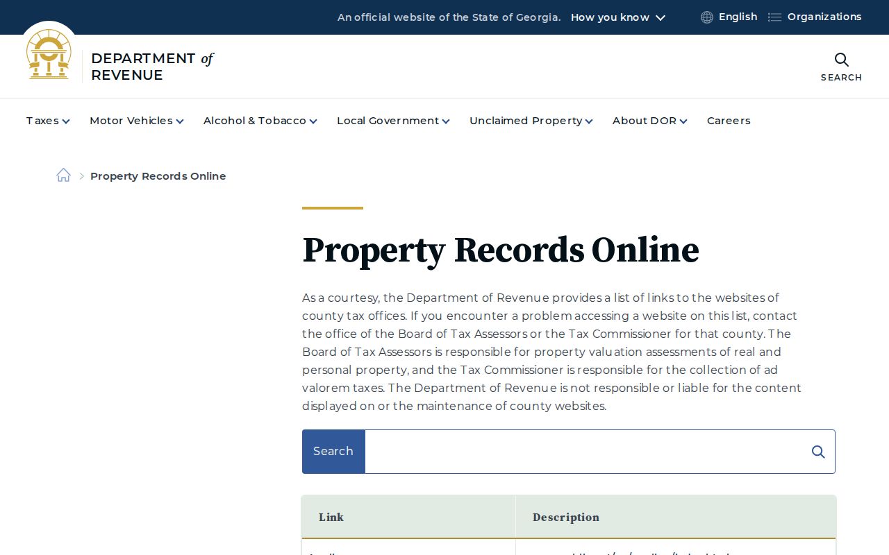
The state directory points back to official county systems, preserving a government-source path without turning property ownership into a claim about all residents.